


Things have
changed around here.
75 years ago, when Carlaw Avenue was at its industrial peak, this street was a manufacturing juggernaut that was vitally important to the economy of Toronto.


75 years ago, when Carlaw Ave. was at its industrial peak, this street was a manufacturing juggernaut that was vitally important to the economy of Toronto.
Queen and Carlaw
Location:
943 Queen St. E.
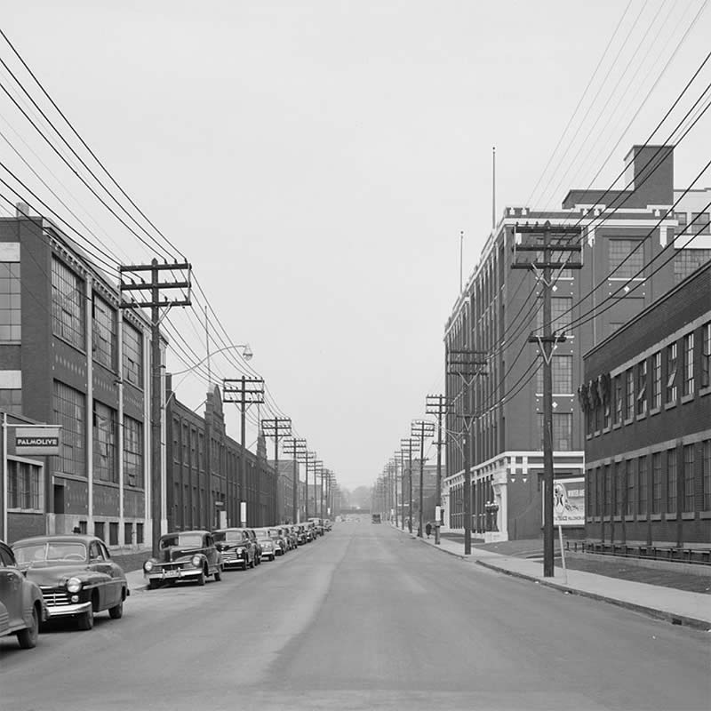
Left: Carlaw Ave. looking north from
Natalie St. (now Colgate Ave.), April 7, 1948.
City of Toronto Archives
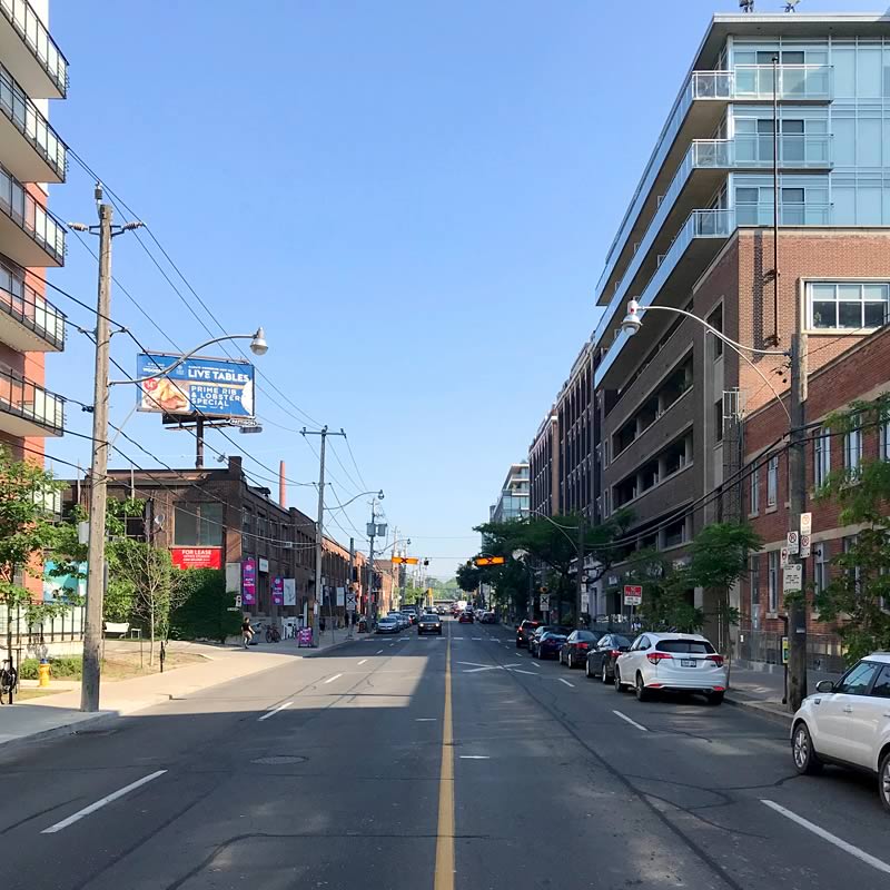
Right: Carlaw Ave. looking north from
Colgate Ave. towards Dundas St.
Image by Chris Bateman
Back then, almost a quarter of Toronto’s population was employed in manufacturing.
The gross value of the products made in Toronto was $1.2 billion, which is roughly equivalent to $16.5 billion in 2019.
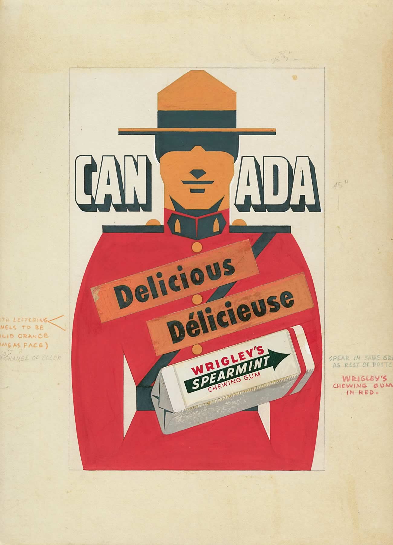
Canadian advertisement for Wrigley’s
Spearmint gum, circa 1950
Wrigley
The goods produced
here were shipped across Canada and around the world —
they even reached the top of Mount Everest.
The goods produced here were shipped across Canada and around the world —
they even reached the top of Mount Everest.
Canadian advertisement for Wrigley’s
Spearmint gum, circa 1950
Wrigley
You probably have a product in your house that used to be made on Carlaw:
Maybe a pack of Wrigley chewing gum, or a Woods jacket, a tube of Colgate toothpaste, a bottle of Palmolive dish soap, or a bottle cap made by Crown.
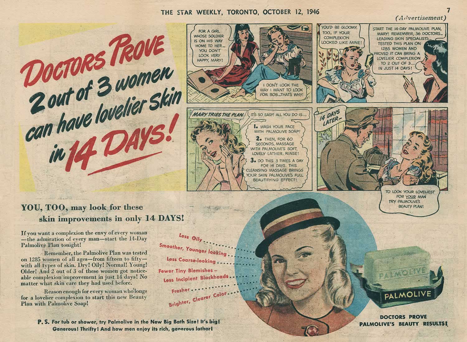
Advertisement for Palmolive soap.
Star Weekly, Toronto, October 12, 1946
Like this street, Toronto has grown and changed.
Many historic factories you will encounter on Carlaw have now found new life supporting stores, cafes, restaurants, and residential lofts.
Today, only about about 2.5 percent of the population work in manufacturing. More people work in offices and fewer are involved in making things.
The Wrigley building on Carlaw Ave., 1915
Wrigley
How was this neighbourhood made?
For thousands of years this land was occupied and used by the Wendat, Haudenosaunee, and Anishinabee Indigenous peoples.
To the south was a large marshland the Mississaugas used for hunting and fishing and also for resting and healing. The Dundas and Carlaw area was included in the 1805 Toronto Purchase treaty between the Mississaugas and the British Crown, which accelerated European colonization of Toronto.
Today, we are on treaty lands and territory of the Mississaugas of the Credit First Nation.
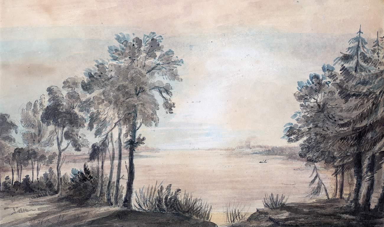
York (now Toronto) Harbour, looking west from
the mouth of the Don River, by Elizabeth Simcoe, 1793.
Toronto Public Library
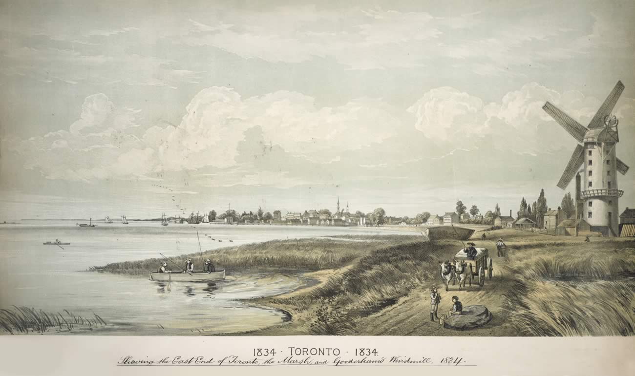
View of Toronto Harbour, 1834.
Toronto Public Library
In the 19th century, the rich soil in the Leslieville area was used for growing vegetables and flowers.
In 1906, the city seized substantial land on Carlaw over unpaid taxes and decided to sell it in parcels for industrial use.
Industry made sense because the land was close to the Port Lands and the Grand Trunk Railway (GTR), which linked Toronto with the Port of Montreal and Atlantic trade routes.
The GTR installed freight tracks to the factory sites and
development rapidly followed.

Fast Fact
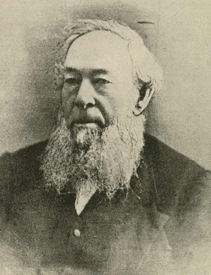
George Leslie (1804 - 1893).
From Adam G. Mercer’s, Toronto Old and New, 1891.
George Leslie
Leslieville is named for gardener and businessman George Leslie (1804 – 1893) who established the Toronto Nurseries in this area in 1845. His greenhouses and extensive fields produced everything from flowers to ornamental shrubs and trees. By the 1870s, Toronto Nurseries advertised itself as the largest business of its kind in Canada.
George Leslie (1804 - 1893).
From Adam G. Mercer’s, Toronto Old and New, 1891.
The design of the factories you will encounter on the tour reflect the needs of early‑20th century manufacturers.
Easy rail access was just one requirement. They also needed lots of interior space and robust city infrastructure like sewers, electricity, and transportation for their workers.
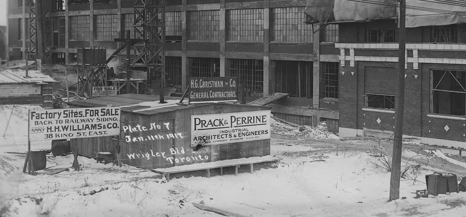
Signs advertising factory sites with direct access to railway freight tracks, 1917.
Library and Archives Canada
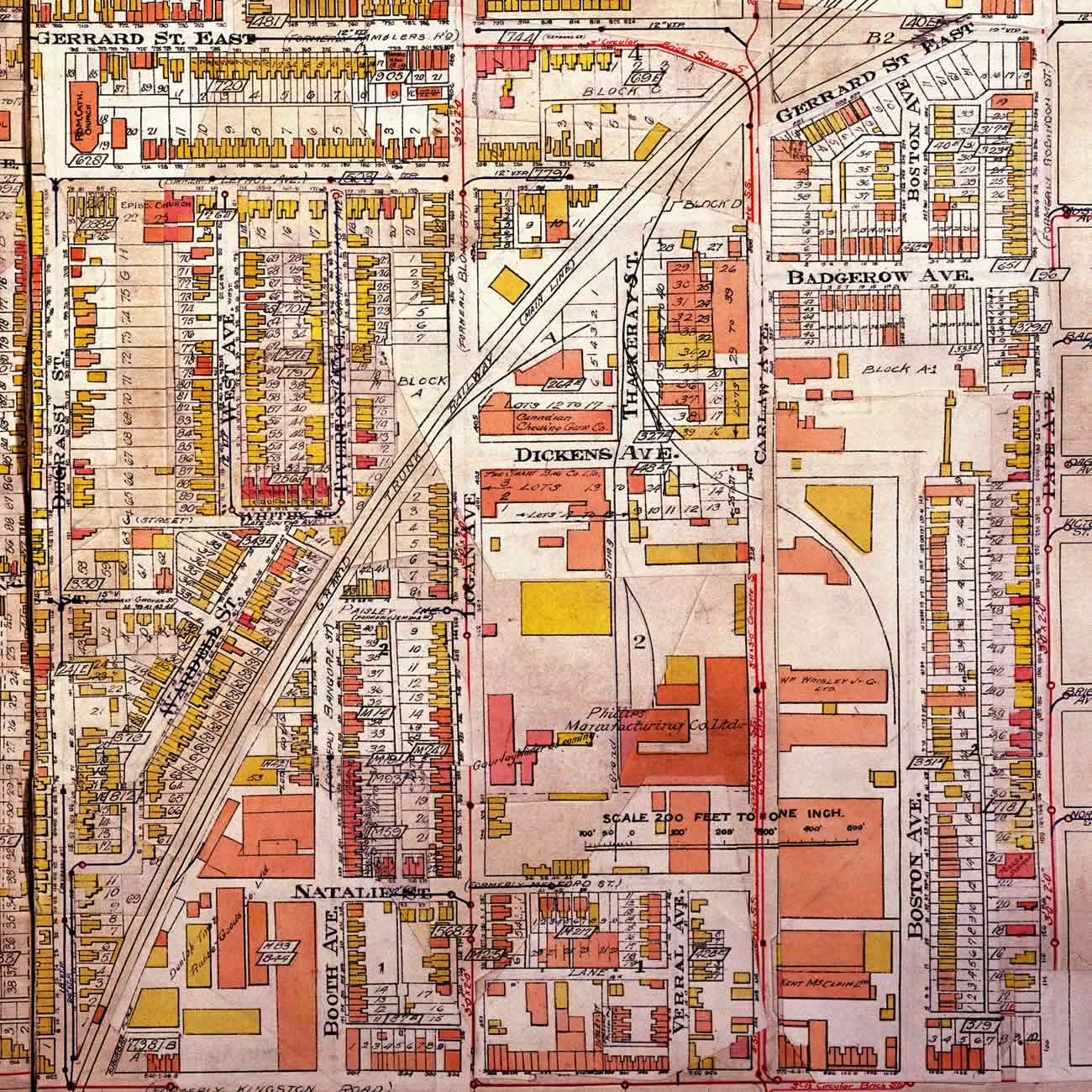
Map of the Dundas and Carlaw area, 1924. The large orange shapes are factories.
City of Toronto Archives
Like industrial areas across North America, the neighbourhood declined from the 1960s to the 1980s.
Today it has rebounded to become a thriving residential, cultural, and commercial centre with many notable buildings that have been carefully adapted from their original use.
This is truly a neighbourhood in the making.

Check
it out ...
Reliable Fish and Chips
You’ll find Reliable Fish and Chips at the corner of Queen St. and Verral Ave. Founded by Alfred Walter Mongour in 1930, this local institution changed its name to Reliable Fish and Chips in 1934 for the nearby toy factory where many customers worked.
Be sure to fuel up
As you take this tour, you will encounter many independent coffee shops and restaurants. Don’t hesitate to take a break!


Ready to hit the next stop?
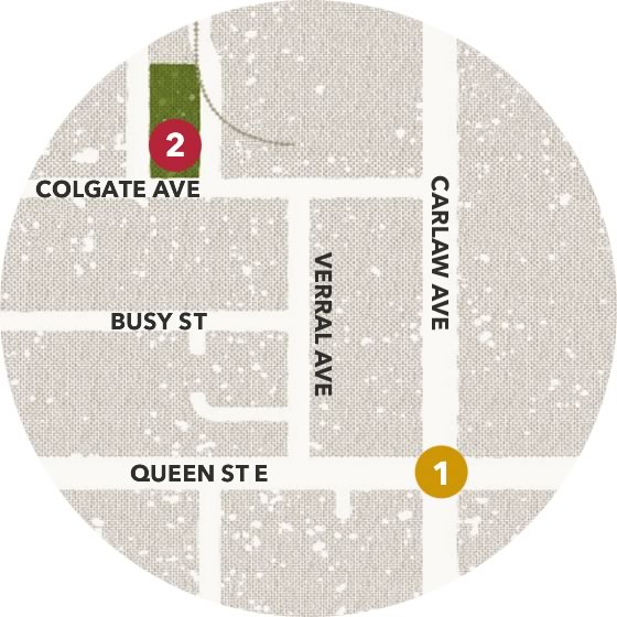
Cross the street at the lights and head west on the northside of Queen St. until Verral Ave. Reliable Fish and Chips is at the corner. Go north on Verrall Ave. until Colgate Ave. Head west on Colgate St. and walk 100 metres.
Careful! This is a residential street but there is no designated crosswalk.
Cross Colgate St. safely to John Chang Neighbourhood Park. Can you find the plaque? This is your stop.
Full steam
ahead!